Madagascar lies in the Indian Ocean, separated from Africa by the Mozambique Channel (400 km wide) and crossed by the Tropic of Capricorn in the south of the island, near Toliara (formerly Tuléar). Madagascar is therefore in the tropics; it stretches about 1,500 km from north to south and is almost 600 km wide at its widest point.
Its relief is highly varied. It includes:
- Some plateaus averaging 800 to 1,200 m in altitude, from the central part (Ankaratra mountains) to the north (Tsaratanana massif) – highlands cut by deep valleys, rising to over 2,000 m in the north.
- On the eastern side, the land drops steeply down to a narrow coastal strip washed by the Indian Ocean.
- The western side, along the Mozambique Channel, is less abrupt and slopes gradually down to a wide coastal plain.
The central range gives rise to many rivers ; in particular the Mananjeba, the Betsiboka and the Fiherenana, which flow into the Mozambique Channel, and the shorter Lokoho, Simiana, Mangoro and Mananara rivers, which flow into the Indian Ocean to the east.
The division of the island into two distinct relief zones, the plateaus and the coastal plain, is broadly reflected in the geology of Madagascar:
- The Precambrian basement (gneiss, mica schists, cipolin marbles) of the central plateau surrounds islands of granite (Masoala peninsula) and basalt (remains of Cretaceous and Quaternary volcanic eruptions).
- On the edges of these massifs there are limestone sediments in the west (Ankarana and Bemaraha massifs) and Liassic sandstones in the south (particularly in the Isalo massif).
The climate is also very varied: Madagascar lies between the equatorial low-pressure zone to the north and the Indian Ocean anticyclone to the south-east. Trade winds prevail in the east and monsoons in the north-west. As a rule, the southern winter from April to October is fairly dry and relatively cool, while the summer from November to March is hot and humid. However, the island setting, the asymmetrical relief and the great north–south extent create several climatic regions:
- The East Coast: exposed to the south-east trade winds, it receives heavy rainfall almost all year round (3,500 mm at Toamasina, formerly Tamatave, and sometimes 6,000 mm at Maroantsetra!): the rainy season runs from November to March, with often heavy rain between June and the end of August; there is no marked dry season in this area, where temperatures stay high all year (23° < t < 30° in December and 18° < t < 25° in July at Toamasina).
- The North: rainfall is lower than on the east coast, but the north is also very wet and very hot; the dry season is more marked (22° < t < 33° in December and 18° < t < 31° in July in the Sambirano).
- The Central Highlands: Its climate is influenced by altitude: less rain, and therefore a marked dry season, and lower temperatures. The temperature range is wide, and in winter night-time temperatures are often close to 0°C (18° < t < 25° in December and 10° < t < 20° in July at Antananarivo).
- The western side: it receives little rain; rainfall is spread over 7 months, with a dry season that becomes more and more marked from north to south; temperatures are high.
- The South-West and South: with a semi-arid climate, the south and south-west of the island receive less than 500 mm of rain a year; rainfall is spread over a few weeks in December–January; the dry season, which lasts about 10 months, is scorching (22° < t < 33° in December and 18° < t < 27° in July at Toliara).
Cut off from the mainland for 50 million years, Madagascar has evolved in isolation. As a result, most of its flora (and fauna) is endemic*. Madagascar is a true plant (and animal) sanctuary, unique in the world. Unfortunately, because of the poverty of its people, rural life puts very heavy pressure on the land, and wildlife – the forest in particular – is under serious threat. Very little of Madagascar’s original forest remains.
The following can be distinguished:
- Primary formations comprising primary forests and thickets: primary forests currently cover 16% of the island, with a high rate of endemism. They are: dense humid evergreen* forests (Sambirano, the northern tip of the island and the eastern slopes) and deciduous* forests: tropophilous* or dry forests, montane forests in the Central Highlands, north-west, west and south-west, and sclerophyllous* or Mediterranean-type forests at mid-altitude (western slopes of the centre); the thickets exposed to harsh climatic conditions (cold or scorching drought) are found in the mountains of the Highlands and in the south-west and south (xerophilous* thickets and bush)
- Secondary formations : these cover 63% of the island and result from the degradation of primary forests. They are secondary forests (eastern region, Sambirano, which grow up after slash-and-burn fields are abandoned), savannahs that take hold after the destruction of secondary forests (western regions, Central Highlands and some parts of the eastern region), and the southern steppe (resulting from the clearing and degradation of xerophilous* thickets)
- Special formations: the vegetation of rocky outcrops – granite domes in the central region or limestone Tsingy in the north-west: each area is often home to very marked micro-endemism* – and the marshes, swamps and mangroves* of the coast.
To help understand the explanations above, here is a detailed map of Madagascar. 
The begonias of Madagascar:
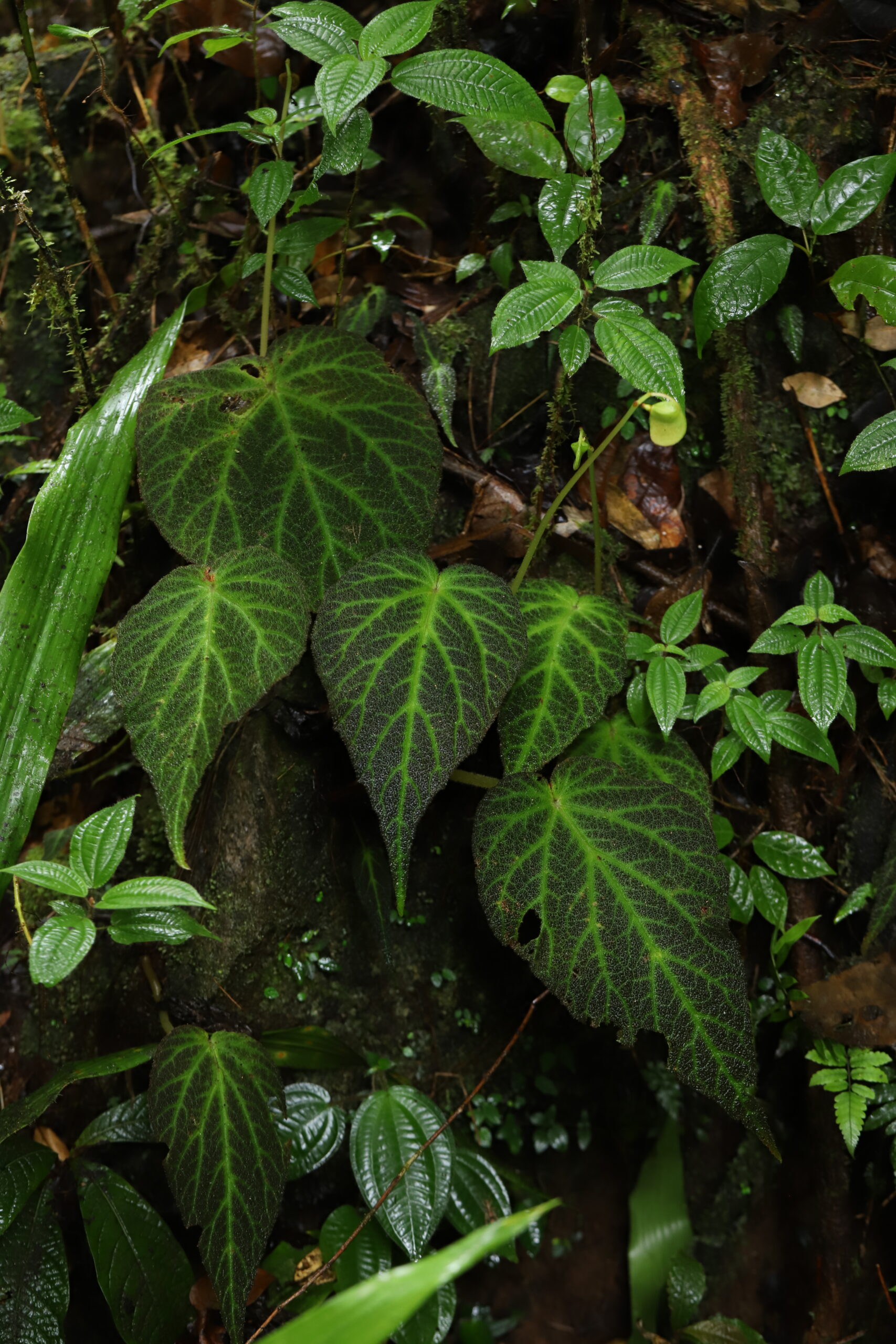
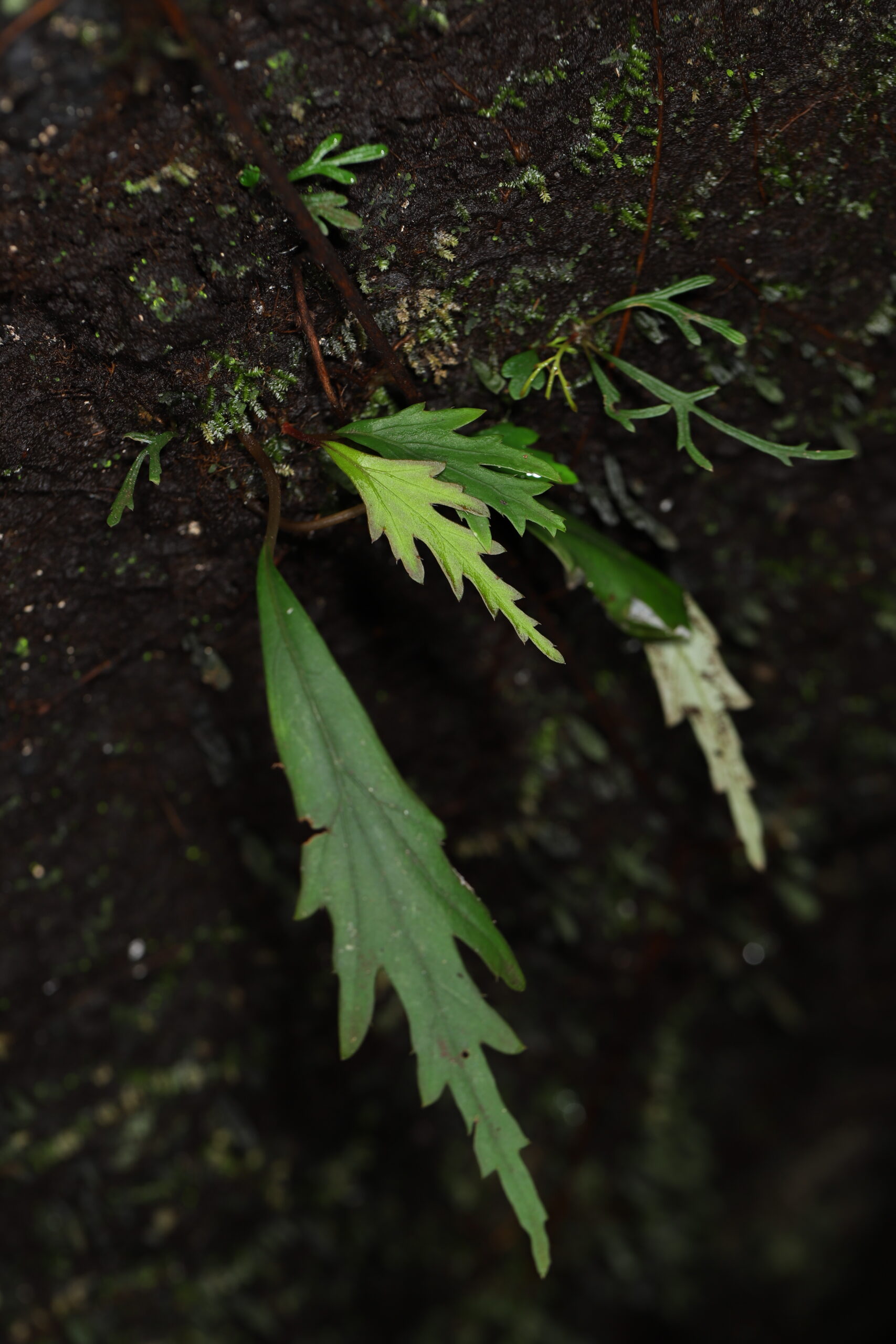
As you can see, Madagascar is not one habitat but many. The begonias of Madagascar are found from sea level up to about 1,800 m, on practically every type of soil on the island.
Except in the north and east, they endure a dry season that is sometimes very harsh, as in the west, during which they go dormant. Many of them are tuberous begonias. As elsewhere, the rainy season is when growth resumes, with flowering at the end of the wet season and seed production at the start of the dry season.
Overall, the flora of Madagascar, one of the richest in the world, is 80% endemic*. A few Malagasy begonias grow throughout tropical Africa, but many of the island’s species are found only in Madagascar. Malagasy begonias also show very narrow endemism*, restricted to a single forest, massif, or even a single cliff or stream, particularly on the north-east coast.
The flora by Monique Keraudren-Aymonin, published in 1983, lists and describes about fifty begonia species from Madagascar and the neighbouring islands, some of them very little known. Other species have been discovered since, notably by Henri Laporte, a travelling collector who, over eleven trips to Madagascar, came across several new plants that have still not been described. Many other begonias probably remain to be discovered on the Great Island.
In Madagascar, begonias are found:
- In the lowland rainforest* which survives in the north-west, the north and in a narrow strip along the east coast, as patches down to the south of the island: Sambirano in the north-west, Sambava, Mandritsara, the Masoala peninsula, and the Mananara and Betampona regions.
By section, they are:
ERMINEA : B. bogneri ; B. erminea ; B. nana ; B. razafinjohanyi
MUSCIBEGONIA : B. kalabenonensis ; B. perpusilla
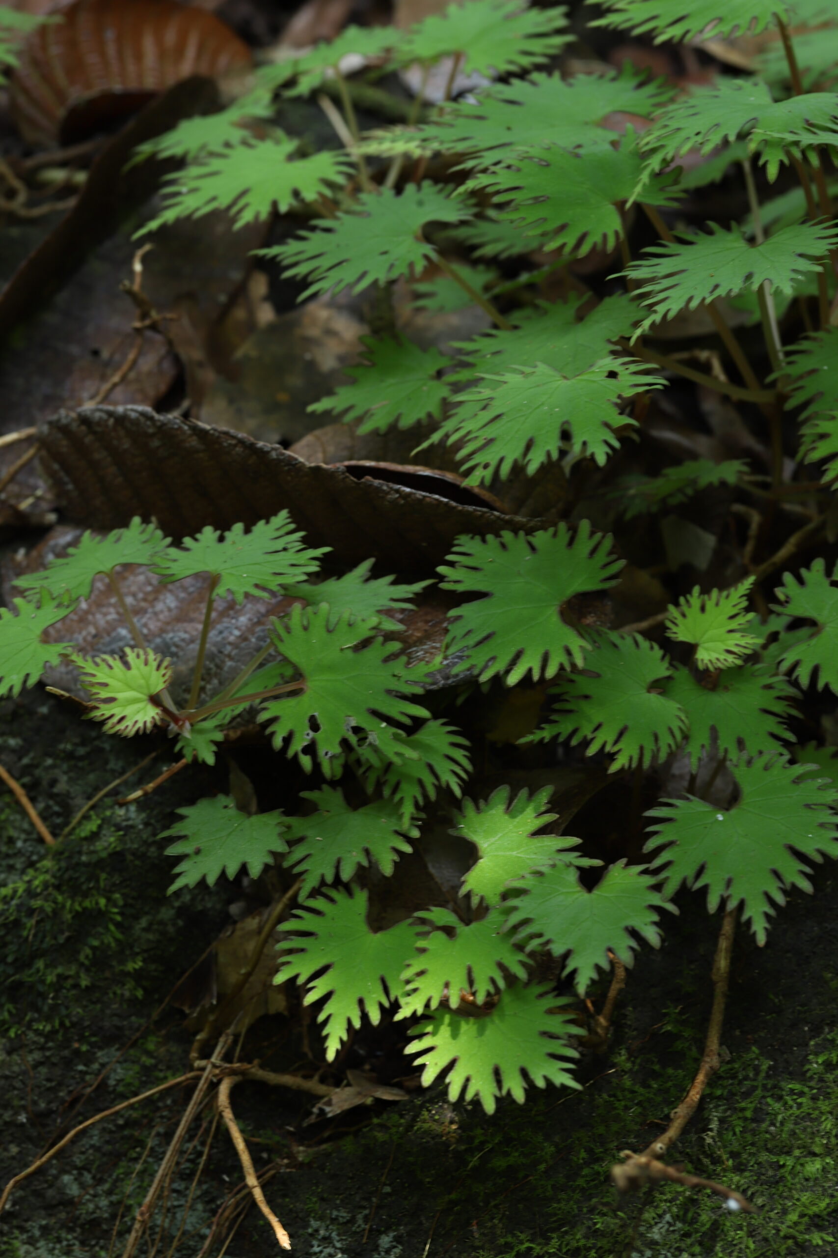
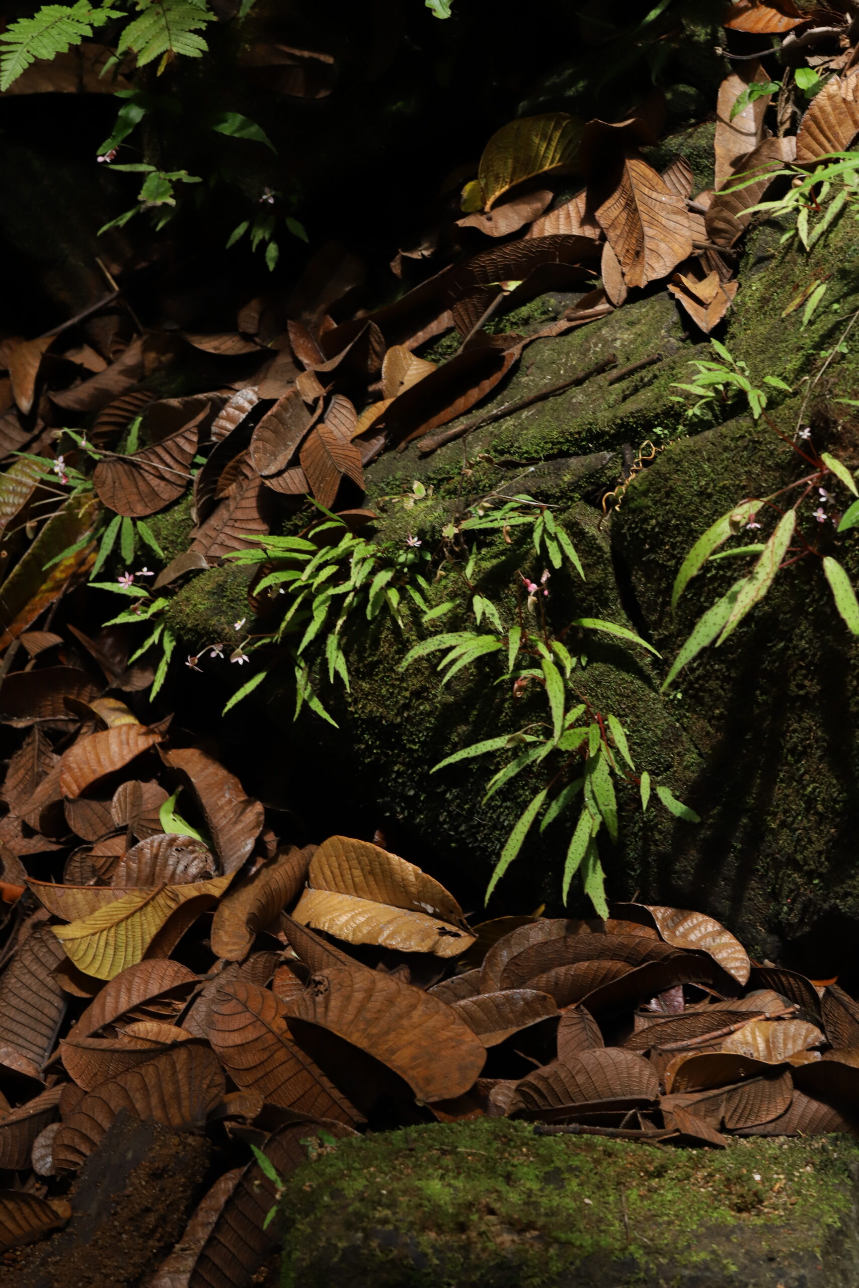
The begonias of these two sections are often small tuberous plants, frequently growing on rocks along streams in the north and east of Madagascar.
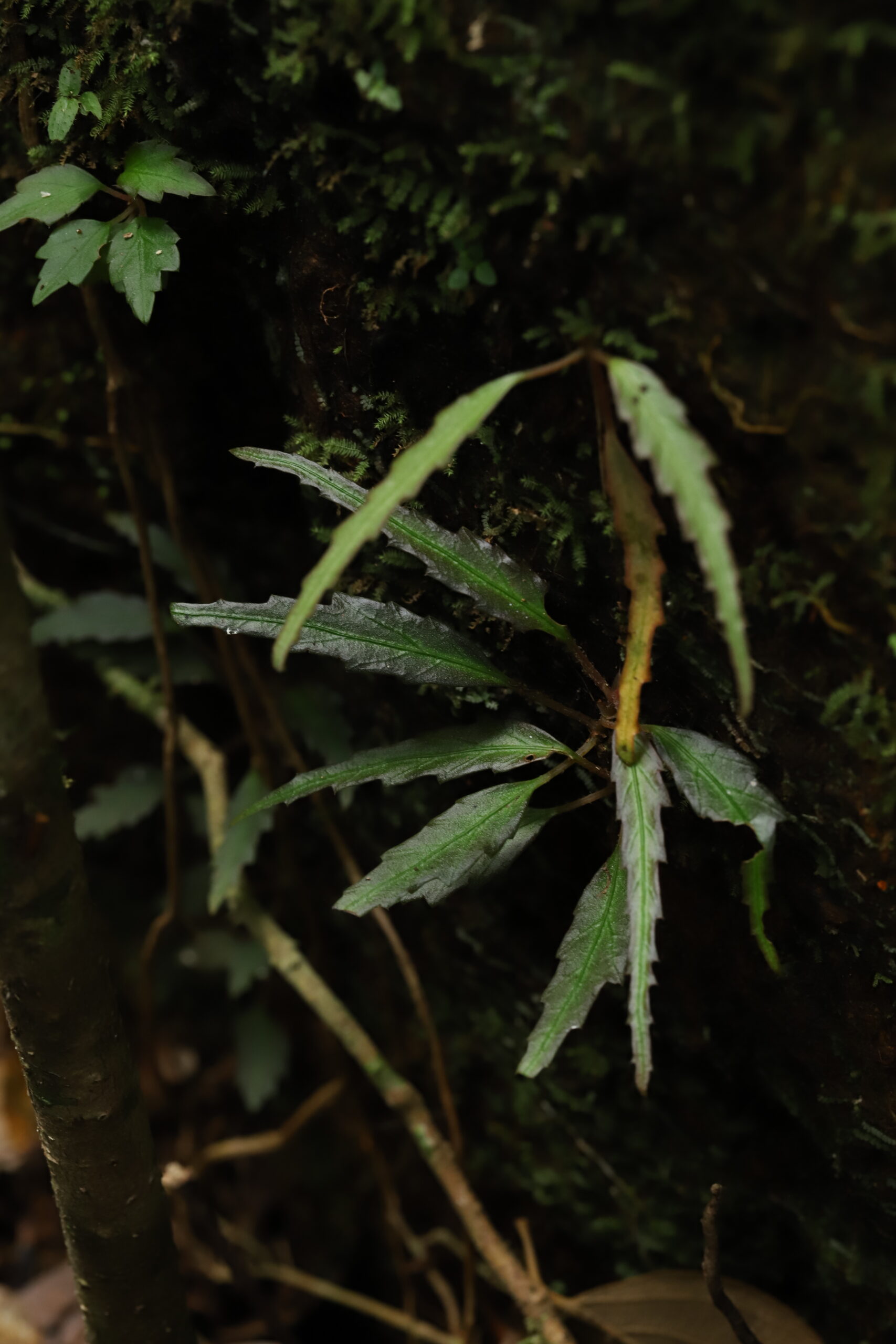
Others are creeping, rhizomatous plants with evergreen leaves from the humid forests of the east:
NERVIPLACENTARIA : B. lyallii var. lyallii ; B. majungaensis
- In a few remnants of montane forest : Montagne des Français, Montagne d’Ambre, the Tsaratanana and Marojezy massifs, the Lake Alaotra region, the volcanic region of Antsirabe, the Fianarantsoa region, and along rivers: the Mananjeba, Lokoho, Simiana and, in the south, the Mandrare.
QUADRILOBARIA : B. ankaranensis ; B. antsiranensis ; B. bagotiana ; B. françoisii ; B. mananjebensis ; B. nossibea
These are tuberous or rhizomatous begonias from the deciduous* forests of western Madagascar, the limestone Tsingy and the stream banks of the north; they lose their above-ground parts during the dry season.
- In the dry forests – sparse and open – of the west: the Mahajanga region (Betsiboka river) and the Ankaratra massif, and further south, where despite a long, harsh dry season a few begonias grow among damp rocks: the Isalo massif and the upper Fiherenana valley
QUADRILOBARIA : B. isalensis
MEZIEREA : B. humbertii
NERVIPLACENTARIA : B. madecassa ; B. majungaensis
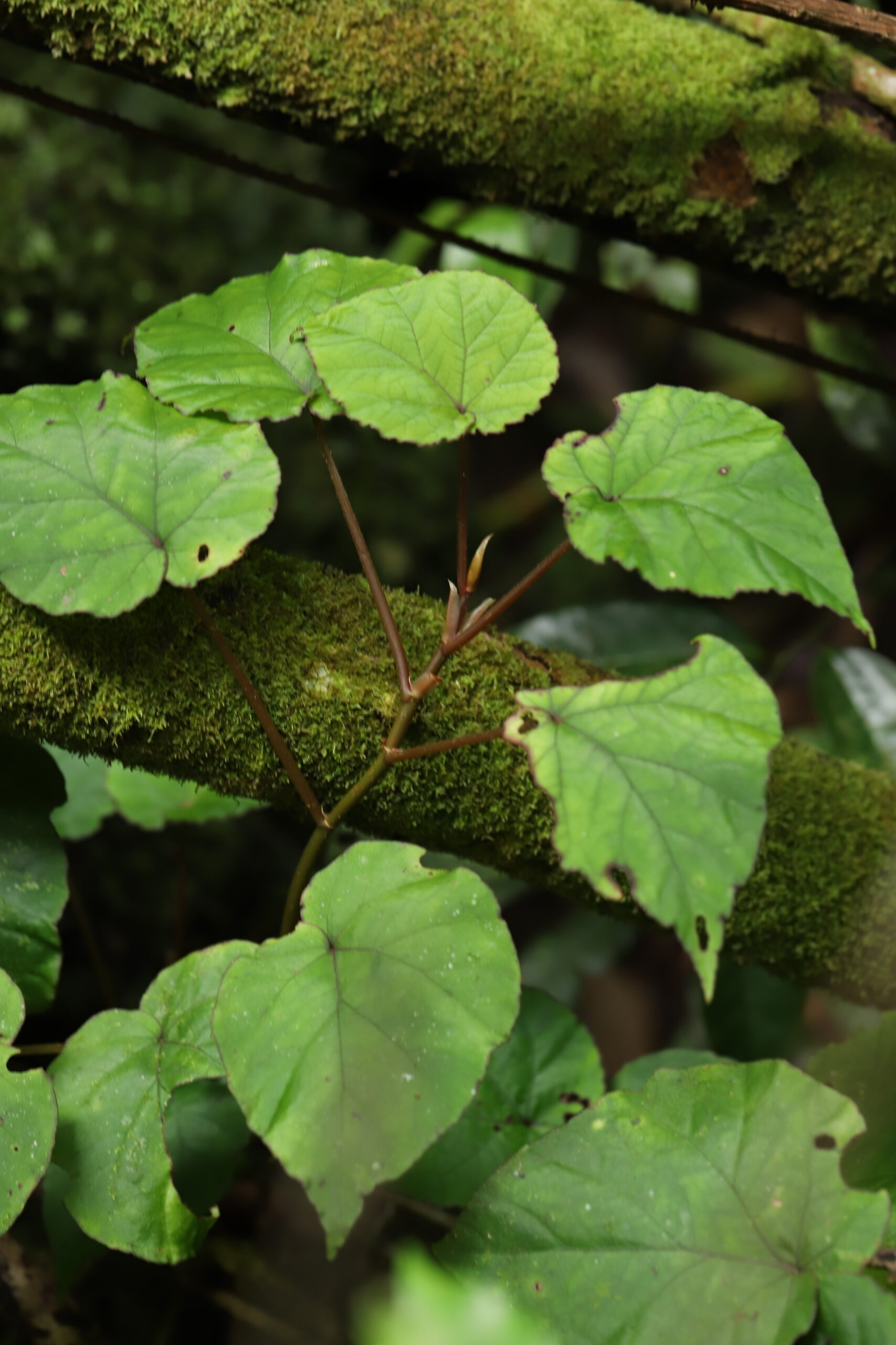
These begonias are often large plants of the dry forests of western Madagascar, with tall stems; their leaves drop in the dry season, leaving only the stems.
(The initials added to the names of unidentified species are those of the collectors: HL = Henri Laporte and JDBS = Jacky Duruisseau / Bernadette Sénéchal)